New footbridge on the Churnet Way
Introduction
The photograph on this page of New footbridge on the Churnet Way by Ian Calderwood as part of the Geograph project.
The Geograph project started in 2005 with the aim of publishing, organising and preserving representative images for every square kilometre of Great Britain, Ireland and the Isle of Man.

There are currently over 7.5m images from over 14,400 individuals and you can help contribute to the project by visiting https://www.geograph.org.uk
New footbridge on the Churnet Way
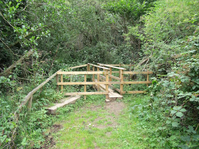
Image: © Ian Calderwood Taken: 15 Aug 2015
This little footbridge carries the Churnet Way towards its junction with the Staffordshire Way and has replaced the one pictured in Image
Images are licensed for reuse under creativecommons.org/licenses/by-sa/2.0
Image Location


Leaflet Map data © OpenStreetMap
Latitude
53.009413
Longitude
-1.958825