View over Airedale with red flag
Introduction
The photograph on this page of View over Airedale with red flag by Stephen Craven as part of the Geograph project.
The Geograph project started in 2005 with the aim of publishing, organising and preserving representative images for every square kilometre of Great Britain, Ireland and the Isle of Man.

There are currently over 7.5m images from over 14,400 individuals and you can help contribute to the project by visiting https://www.geograph.org.uk
View over Airedale with red flag
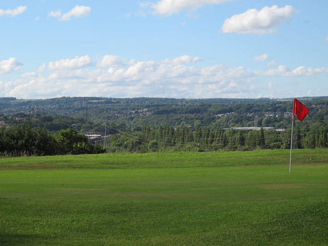
Image: © Stephen Craven Taken: 10 Aug 2015
The flag in the foreground is part of Gotts Park golf course. View roughly northwards towards Kirkstall.
Images are licensed for reuse under creativecommons.org/licenses/by-sa/2.0
Image Location
Latitude
53.810242
Longitude
-1.593883