Arundel Road, Seaford, with scaffolding round a house
Introduction
The photograph on this page of Arundel Road, Seaford, with scaffolding round a house by Robin Stott as part of the Geograph project.
The Geograph project started in 2005 with the aim of publishing, organising and preserving representative images for every square kilometre of Great Britain, Ireland and the Isle of Man.

There are currently over 7.5m images from over 14,400 individuals and you can help contribute to the project by visiting https://www.geograph.org.uk
Arundel Road, Seaford, with scaffolding round a house
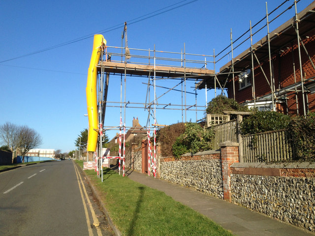
Image: © Robin Stott Taken: 25 Dec 2014
Note the flint garden wall capped with two courses of brick and a clay coping. Arundel Road cuts straight across the generally east-west residential roads on this side of Seaford.
Images are licensed for reuse under creativecommons.org/licenses/by-sa/2.0
Image Location
Latitude
50.768899
Longitude
0.118706