Radar Spinney
Introduction
The photograph on this page of Radar Spinney by Robin Webster as part of the Geograph project.
The Geograph project started in 2005 with the aim of publishing, organising and preserving representative images for every square kilometre of Great Britain, Ireland and the Isle of Man.

There are currently over 7.5m images from over 14,400 individuals and you can help contribute to the project by visiting https://www.geograph.org.uk
Radar Spinney
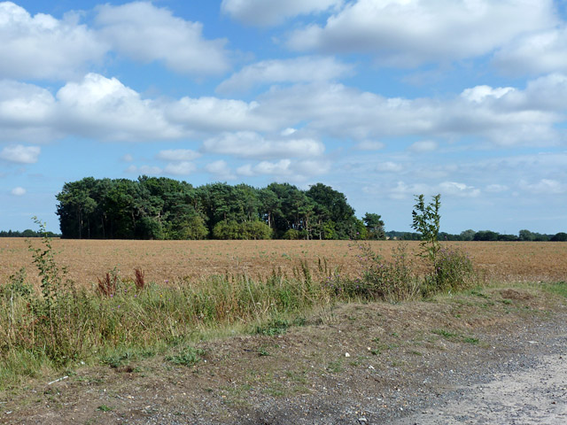
Image: © Robin Webster Taken: 14 Aug 2015
A name doubtless associated with the former RAF Birch, closed 1945. In the immediate foreground is the concrete at the north end of runway 02/20, now used by the public Blind Lane with a tarmac overlay and in an apparently narrowed form.
Images are licensed for reuse under creativecommons.org/licenses/by-sa/2.0
Image Location
Latitude
51.84712
Longitude
0.78911