Wester Caputh
Introduction
The photograph on this page of Wester Caputh by Richard Sutcliffe as part of the Geograph project.
The Geograph project started in 2005 with the aim of publishing, organising and preserving representative images for every square kilometre of Great Britain, Ireland and the Isle of Man.

There are currently over 7.5m images from over 14,400 individuals and you can help contribute to the project by visiting https://www.geograph.org.uk
Wester Caputh
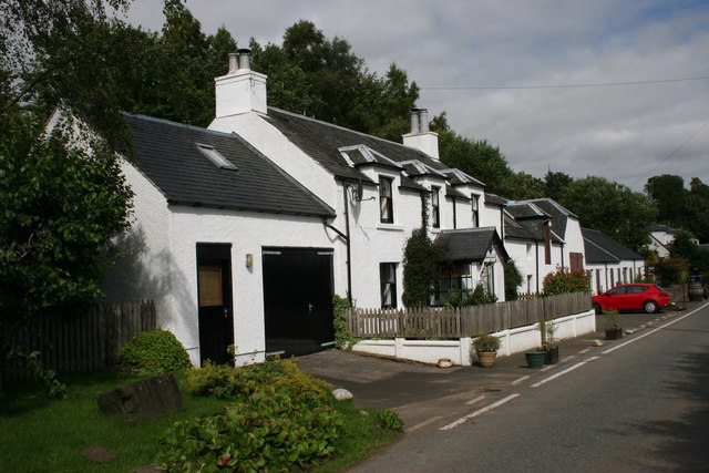
Image: © Richard Sutcliffe Taken: 12 Aug 2015
This is now Wester Caputh Bunkhouse. The original 19th century building has been extended, and there is accommodation for up to 16 people.
Images are licensed for reuse under creativecommons.org/licenses/by-sa/2.0
Image Location
Latitude
56.542897
Longitude
-3.487867