Diamond Way at Upper End, Eastington
Introduction
The photograph on this page of Diamond Way at Upper End, Eastington by Derek Harper as part of the Geograph project.
The Geograph project started in 2005 with the aim of publishing, organising and preserving representative images for every square kilometre of Great Britain, Ireland and the Isle of Man.

There are currently over 7.5m images from over 14,400 individuals and you can help contribute to the project by visiting https://www.geograph.org.uk
Diamond Way at Upper End, Eastington
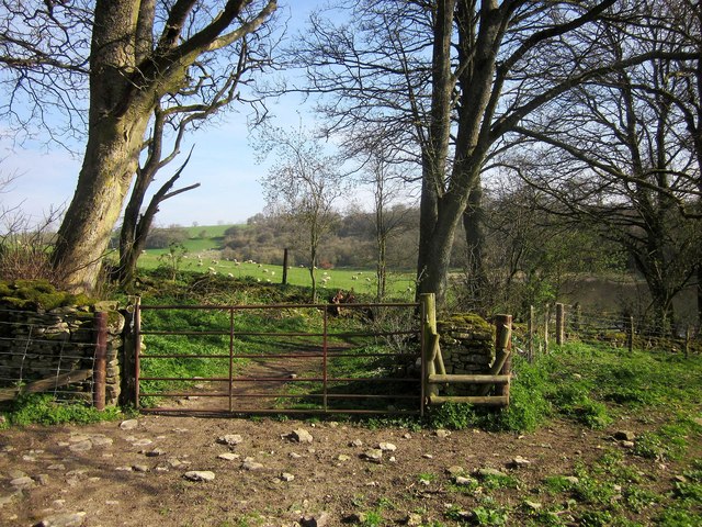
Image: © Derek Harper Taken: 8 Apr 2015
In the foreground is footpath KNE 17/1. Beyond the gate it meets the Diamond Way, following bridleway KNE 16/3 between banks.
Images are licensed for reuse under creativecommons.org/licenses/by-sa/2.0
Image Location


Leaflet Map data © OpenStreetMap
Latitude
51.822591
Longitude
-1.817287