Harding Place sign
Introduction
The photograph on this page of Harding Place sign by Geographer as part of the Geograph project.
The Geograph project started in 2005 with the aim of publishing, organising and preserving representative images for every square kilometre of Great Britain, Ireland and the Isle of Man.

There are currently over 7.5m images from over 14,400 individuals and you can help contribute to the project by visiting https://www.geograph.org.uk
Harding Place sign
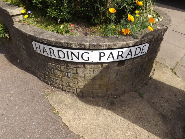
Image: © Geographer Taken: 12 Aug 2015
Off the B652 Station Road at the junction with Arden Grove
Images are licensed for reuse under creativecommons.org/licenses/by-sa/2.0
Image Location


Leaflet Map data © OpenStreetMap
Latitude
51.814877
Longitude
-0.353402