Snow on the Footpath between Highfield Road and Buckingham Road, Tring
Introduction
The photograph on this page of Snow on the Footpath between Highfield Road and Buckingham Road, Tring by Chris Reynolds as part of the Geograph project.
The Geograph project started in 2005 with the aim of publishing, organising and preserving representative images for every square kilometre of Great Britain, Ireland and the Isle of Man.

There are currently over 7.5m images from over 14,400 individuals and you can help contribute to the project by visiting https://www.geograph.org.uk
Snow on the Footpath between Highfield Road and Buckingham Road, Tring
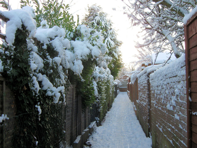
Image: © Chris Reynolds Taken: 22 Dec 2009
This footpath is the rerouted ancient footpath that ran between Tring and Drayton Beauchamp. On the right are the back gardens of the terraced houses, Nos. 7-15 Buckingham Road. Originally dustbins were left here and the dustmen came and collected them, but now bins have to be left on the edge of the road.
Images are licensed for reuse under creativecommons.org/licenses/by-sa/2.0
Image Location
Latitude
51.794235
Longitude
-0.675376