Oakley Lane, Tring
Introduction
The photograph on this page of Oakley Lane, Tring by Chris Reynolds as part of the Geograph project.
The Geograph project started in 2005 with the aim of publishing, organising and preserving representative images for every square kilometre of Great Britain, Ireland and the Isle of Man.

There are currently over 7.5m images from over 14,400 individuals and you can help contribute to the project by visiting https://www.geograph.org.uk
Oakley Lane, Tring
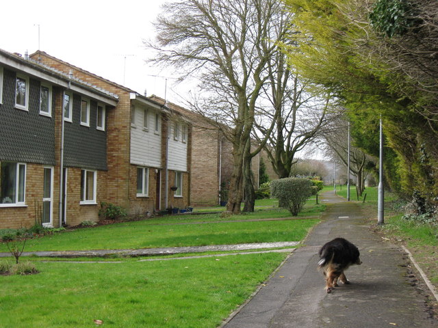
Image: © Chris Reynolds Taken: 10 Mar 2009
These houses front onto the footpath that runs from near the centre of Tring to Drayton Beachamp.
Images are licensed for reuse under creativecommons.org/licenses/by-sa/2.0
Image Location
Latitude
51.794265
Longitude
-0.677986