New high-density "executive housing" on the outskirts of Blackburn
Introduction
The photograph on this page of New high-density "executive housing" on the outskirts of Blackburn by Mike and Kirsty Grundy as part of the Geograph project.
The Geograph project started in 2005 with the aim of publishing, organising and preserving representative images for every square kilometre of Great Britain, Ireland and the Isle of Man.

There are currently over 7.5m images from over 14,400 individuals and you can help contribute to the project by visiting https://www.geograph.org.uk
New high-density "executive housing" on the outskirts of Blackburn
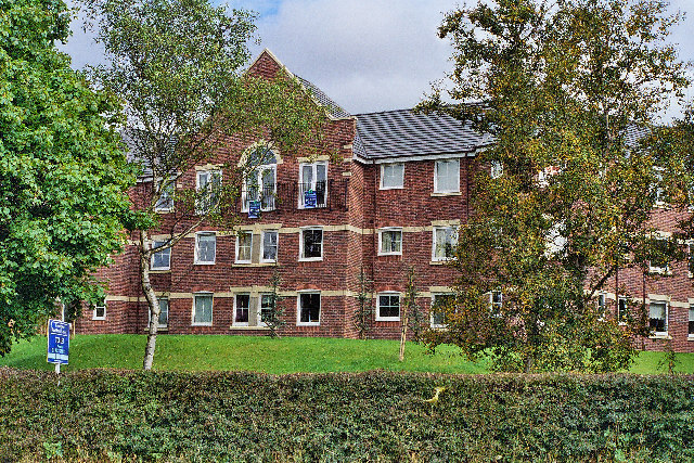
Image: © Mike and Kirsty Grundy Taken: 28 Aug 2005
The Moat House Hotel (formerly the Saxon Inn) was demolished to make way for this development.
Images are licensed for reuse under creativecommons.org/licenses/by-sa/2.0
Image Location
Latitude
53.760724
Longitude
-2.520239