Horses north of Upper Boddington
Introduction
The photograph on this page of Horses north of Upper Boddington by Mat Fascione as part of the Geograph project.
The Geograph project started in 2005 with the aim of publishing, organising and preserving representative images for every square kilometre of Great Britain, Ireland and the Isle of Man.

There are currently over 7.5m images from over 14,400 individuals and you can help contribute to the project by visiting https://www.geograph.org.uk
Horses north of Upper Boddington
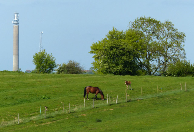
Image: © Mat Fascione Taken: 15 May 2015
On the left is the 118 metres (387 ft) tall Charwelton BT Tower.
Images are licensed for reuse under creativecommons.org/licenses/by-sa/2.0
Image Location


Leaflet Map data © OpenStreetMap
Latitude
52.181333
Longitude
-1.29472