Lymm Dam and St Mary the Virgin, Lymm
Introduction
The photograph on this page of Lymm Dam and St Mary the Virgin, Lymm by Dave Dunford as part of the Geograph project.
The Geograph project started in 2005 with the aim of publishing, organising and preserving representative images for every square kilometre of Great Britain, Ireland and the Isle of Man.

There are currently over 7.5m images from over 14,400 individuals and you can help contribute to the project by visiting https://www.geograph.org.uk
Lymm Dam and St Mary the Virgin, Lymm
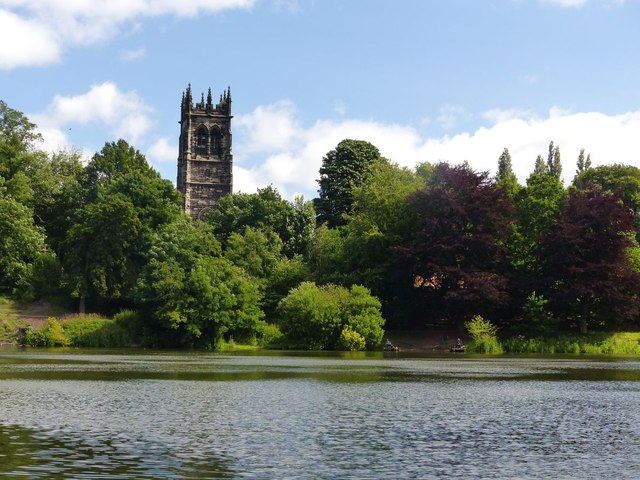
Image: © Dave Dunford Taken: 30 Jul 2015
Classic view of the church across Lymm Dam. The lake was former by the damming of the Sow Brook to build a turnpike road (now the A56).
Images are licensed for reuse under creativecommons.org/licenses/by-sa/2.0
Image Location
Latitude
53.377183
Longitude
-2.478722