Grassland to the east of Kitting Row Lane
Introduction
The photograph on this page of Grassland to the east of Kitting Row Lane by Rude Health as part of the Geograph project.
The Geograph project started in 2005 with the aim of publishing, organising and preserving representative images for every square kilometre of Great Britain, Ireland and the Isle of Man.

There are currently over 7.5m images from over 14,400 individuals and you can help contribute to the project by visiting https://www.geograph.org.uk
Grassland to the east of Kitting Row Lane
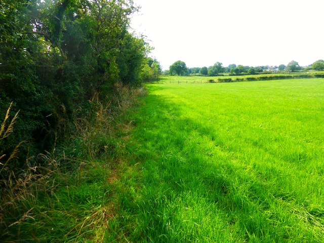
Image: © Rude Health Taken: 13 Aug 2015
This grassland was accessed via a footpath from Kitting Row Lane however the footpath runs on the other side of the hedge.
Images are licensed for reuse under creativecommons.org/licenses/by-sa/2.0
Image Location
Latitude
53.882371
Longitude
-2.93021