East Mascalls Farm
Introduction
The photograph on this page of East Mascalls Farm by Simon Carey as part of the Geograph project.
The Geograph project started in 2005 with the aim of publishing, organising and preserving representative images for every square kilometre of Great Britain, Ireland and the Isle of Man.

There are currently over 7.5m images from over 14,400 individuals and you can help contribute to the project by visiting https://www.geograph.org.uk
East Mascalls Farm
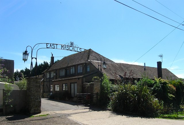
Image: © Simon Carey Taken: 9 Aug 2015
The current farm and buildings date from the late 19th century when operations moved away from Image Currently home to a builder and refurbisher of mobile homes.
Images are licensed for reuse under creativecommons.org/licenses/by-sa/2.0
Image Location
Latitude
51.013206
Longitude
-0.054089