Crossroads near Brimblecombe farm
Introduction
The photograph on this page of Crossroads near Brimblecombe farm by Nigel Mykura as part of the Geograph project.
The Geograph project started in 2005 with the aim of publishing, organising and preserving representative images for every square kilometre of Great Britain, Ireland and the Isle of Man.

There are currently over 7.5m images from over 14,400 individuals and you can help contribute to the project by visiting https://www.geograph.org.uk
Crossroads near Brimblecombe farm
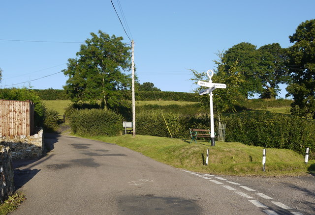
Image: © Nigel Mykura Taken: 7 Aug 2015
The finger posts on this green triangle with its park bench seating, point the way to Honiton, Shute, Hawley Bottom and Dalwood.
Images are licensed for reuse under creativecommons.org/licenses/by-sa/2.0
Image Location
Latitude
50.795382
Longitude
-3.078567