Lime Tree Walk
Introduction
The photograph on this page of Lime Tree Walk by Paul McIlroy as part of the Geograph project.
The Geograph project started in 2005 with the aim of publishing, organising and preserving representative images for every square kilometre of Great Britain, Ireland and the Isle of Man.

There are currently over 7.5m images from over 14,400 individuals and you can help contribute to the project by visiting https://www.geograph.org.uk
Lime Tree Walk
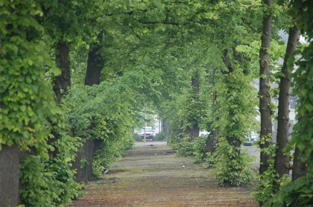
Image: © Paul McIlroy Taken: 8 Jun 2007
This is Lime Tree Walk which was created in 1714 to link Alloa Harbour to the town. The person responsible for much of the infrastructure around Alloa in the 18th century was John Erskine, 6th Earl of Mar. This view is towards the town.
Images are licensed for reuse under creativecommons.org/licenses/by-sa/2.0
Image Location
Latitude
56.10977
Longitude
-3.794508