The Pedestrian Arms
Introduction
The photograph on this page of The Pedestrian Arms by Rose and Trev Clough as part of the Geograph project.
The Geograph project started in 2005 with the aim of publishing, organising and preserving representative images for every square kilometre of Great Britain, Ireland and the Isle of Man.

There are currently over 7.5m images from over 14,400 individuals and you can help contribute to the project by visiting https://www.geograph.org.uk
The Pedestrian Arms
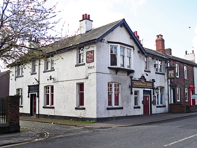
Image: © Rose and Trev Clough Taken: 17 Apr 2012
On Newtown Road, at the corner of Bright Street. The Pedestrian Arms was listed in street directories from 1869. Its name was changed to the North British Railway Inn around 1877, and back to the Pedestrian Arms in 1916, when the State Management Scheme took over control of Carlisle pubs (see 'Carlisle Breweries and Public Houses 1894-1916' by S. Davidson http://www.bookscumbria.com/cgi-bin/trolleyed_public.cgi?action=showprod_2274 ). The pub closed a few months after this photo was taken, and was demolished in 2014. See also Image .
Images are licensed for reuse under creativecommons.org/licenses/by-sa/2.0
Image Location
Latitude
54.894232
Longitude
-2.95791