Boating at Hammonds Pond
Introduction
The photograph on this page of Boating at Hammonds Pond by Rose and Trev Clough as part of the Geograph project.
The Geograph project started in 2005 with the aim of publishing, organising and preserving representative images for every square kilometre of Great Britain, Ireland and the Isle of Man.

There are currently over 7.5m images from over 14,400 individuals and you can help contribute to the project by visiting https://www.geograph.org.uk
Boating at Hammonds Pond
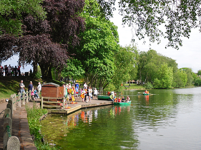
Image: © Rose and Trev Clough Taken: 31 May 2010
Upperby Gala day in 2010. For information about the history of Hammonds Pond (formerly Pleasureland) see archived version of Carlisle City Council website https://web.archive.org/web/20130515110036/http://www.carlisle.gov.uk/leisure_and_culture/parks_and_open_spaces/park_locations/hammonds_pond/hammonds_pond_history.aspx .
Images are licensed for reuse under creativecommons.org/licenses/by-sa/2.0
Image Location
Latitude
54.872368
Longitude
-2.926536