Red door, Kingsand
Introduction
The photograph on this page of Red door, Kingsand by Derek Harper as part of the Geograph project.
The Geograph project started in 2005 with the aim of publishing, organising and preserving representative images for every square kilometre of Great Britain, Ireland and the Isle of Man.

There are currently over 7.5m images from over 14,400 individuals and you can help contribute to the project by visiting https://www.geograph.org.uk
Red door, Kingsand
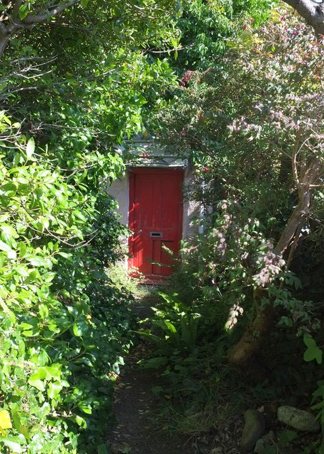
Image: © Derek Harper Taken: 8 Aug 2015
Seen from footpath 617 28/1, but not on it. The tiny path climbs round the north end of the village to meet Devonport Hill.
Images are licensed for reuse under creativecommons.org/licenses/by-sa/2.0
Image Location
Latitude
50.334916
Longitude
-4.201393