Lane to Woodlow and Woodlow Farm
Introduction
The photograph on this page of Lane to Woodlow and Woodlow Farm by Jonathan Billinger as part of the Geograph project.
The Geograph project started in 2005 with the aim of publishing, organising and preserving representative images for every square kilometre of Great Britain, Ireland and the Isle of Man.

There are currently over 7.5m images from over 14,400 individuals and you can help contribute to the project by visiting https://www.geograph.org.uk
Lane to Woodlow and Woodlow Farm
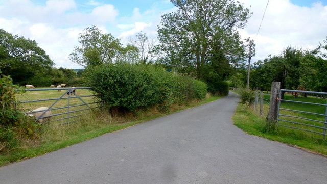
Image: © Jonathan Billinger Taken: 10 Aug 2015
Also shows two typical Herefordshire land uses; sheep and orchards.
Images are licensed for reuse under creativecommons.org/licenses/by-sa/2.0
Image Location
Latitude
52.106037
Longitude
-2.458561