Dead end lane to Dodd's Mill
Introduction
The photograph on this page of Dead end lane to Dodd's Mill by Jonathan Billinger as part of the Geograph project.
The Geograph project started in 2005 with the aim of publishing, organising and preserving representative images for every square kilometre of Great Britain, Ireland and the Isle of Man.

There are currently over 7.5m images from over 14,400 individuals and you can help contribute to the project by visiting https://www.geograph.org.uk
Dead end lane to Dodd's Mill
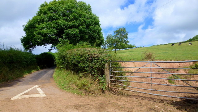
Image: © Jonathan Billinger Taken: 10 Aug 2015
To the right on the slope of Beacon Hill is some dairy cattle.
Images are licensed for reuse under creativecommons.org/licenses/by-sa/2.0
Image Location
Latitude
52.103008
Longitude
-2.451376