Culvert entrance
Introduction
The photograph on this page of Culvert entrance by Ian Capper as part of the Geograph project.
The Geograph project started in 2005 with the aim of publishing, organising and preserving representative images for every square kilometre of Great Britain, Ireland and the Isle of Man.

There are currently over 7.5m images from over 14,400 individuals and you can help contribute to the project by visiting https://www.geograph.org.uk
Culvert entrance
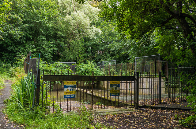
Image: © Ian Capper Taken: 13 Jul 2015
Point near Dany-y-Coed where Penglais Stream (see Image) enters a culvert after which it flows under Penglais Road and North Road before discharging into the sea at the northern end of Marine Terrace.
Images are licensed for reuse under creativecommons.org/licenses/by-sa/2.0
Image Location
Latitude
52.417059
Longitude
-4.071948