Former Cemetery Lodge, East Mascalls Lane
Introduction
The photograph on this page of Former Cemetery Lodge, East Mascalls Lane by Simon Carey as part of the Geograph project.
The Geograph project started in 2005 with the aim of publishing, organising and preserving representative images for every square kilometre of Great Britain, Ireland and the Isle of Man.

There are currently over 7.5m images from over 14,400 individuals and you can help contribute to the project by visiting https://www.geograph.org.uk
Former Cemetery Lodge, East Mascalls Lane
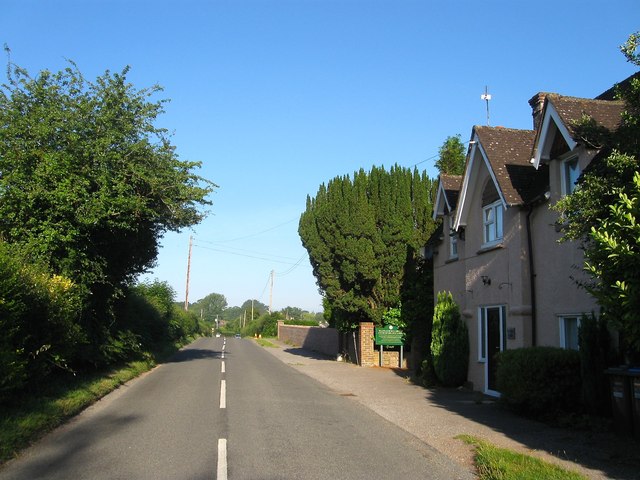
Image: © Simon Carey Taken: 9 Aug 2015
Opened with the rest of the burial ground in 1854 it originally had an archway through the centre of the building which aligned with Image Still owned by Lindfield Rural parish council who rent it out.
Images are licensed for reuse under creativecommons.org/licenses/by-sa/2.0
Image Location
Latitude
51.004878
Longitude
-0.067124