Apps Meadow
Introduction
The photograph on this page of Apps Meadow by Simon Carey as part of the Geograph project.
The Geograph project started in 2005 with the aim of publishing, organising and preserving representative images for every square kilometre of Great Britain, Ireland and the Isle of Man.

There are currently over 7.5m images from over 14,400 individuals and you can help contribute to the project by visiting https://www.geograph.org.uk
Apps Meadow
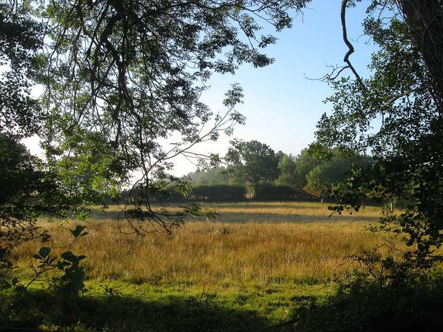
Image: © Simon Carey Taken: 9 Aug 2015
The name of the field according to Lindfield's 1845 tithe map that is bounded by Scrase Stream to the west and Lewes road, the B2111, to the south.
Images are licensed for reuse under creativecommons.org/licenses/by-sa/2.0
Image Location
Latitude
51.00763
Longitude
-0.075847