Lindfield Pond
Introduction
The photograph on this page of Lindfield Pond by Simon Carey as part of the Geograph project.
The Geograph project started in 2005 with the aim of publishing, organising and preserving representative images for every square kilometre of Great Britain, Ireland and the Isle of Man.

There are currently over 7.5m images from over 14,400 individuals and you can help contribute to the project by visiting https://www.geograph.org.uk
Lindfield Pond
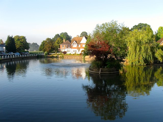
Image: © Simon Carey Taken: 9 Aug 2015
The pond is very old and lies at the southern end of the High Street and northern tip of the common though 19th century development has now severed the link though the latter can be seen in the distance.
Images are licensed for reuse under creativecommons.org/licenses/by-sa/2.0
Image Location
Latitude
51.010971
Longitude
-0.082124