Farmland near Cheddleton, Staffordshire
Introduction
The photograph on this page of Farmland near Cheddleton, Staffordshire by Roger D Kidd as part of the Geograph project.
The Geograph project started in 2005 with the aim of publishing, organising and preserving representative images for every square kilometre of Great Britain, Ireland and the Isle of Man.

There are currently over 7.5m images from over 14,400 individuals and you can help contribute to the project by visiting https://www.geograph.org.uk
Farmland near Cheddleton, Staffordshire
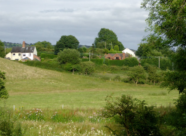
Image: © Roger D Kidd Taken: 1 Aug 2015
This telephoto assisted mage was taken from near Spring's Bridge (over the Caldon Canal), looking east across the flood plain of the River Churnet.
Images are licensed for reuse under creativecommons.org/licenses/by-sa/2.0
Image Location
Latitude
53.072246
Longitude
-2.042795