Rooley Lane, Sowerby
Introduction
The photograph on this page of Rooley Lane, Sowerby by Humphrey Bolton as part of the Geograph project.
The Geograph project started in 2005 with the aim of publishing, organising and preserving representative images for every square kilometre of Great Britain, Ireland and the Isle of Man.

There are currently over 7.5m images from over 14,400 individuals and you can help contribute to the project by visiting https://www.geograph.org.uk
Rooley Lane, Sowerby
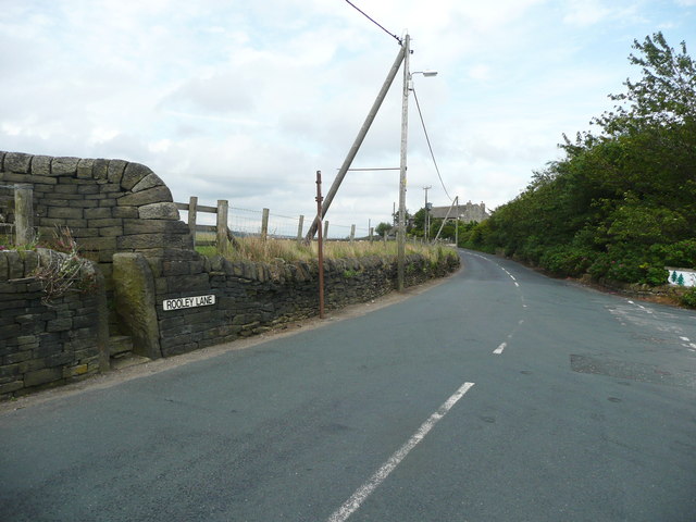
Image: © Humphrey Bolton Taken: 20 Jul 2015
This is the road looking east from the junction with Upper Field House Lane. Sowerby bridge FP103, Link B, starts at the stile on the left.
Images are licensed for reuse under creativecommons.org/licenses/by-sa/2.0
Image Location
Latitude
53.702431
Longitude
-1.947401