Benchmark on bridge, Station Road, Shapwick
Introduction
The photograph on this page of Benchmark on bridge, Station Road, Shapwick by Becky Williamson as part of the Geograph project.
The Geograph project started in 2005 with the aim of publishing, organising and preserving representative images for every square kilometre of Great Britain, Ireland and the Isle of Man.

There are currently over 7.5m images from over 14,400 individuals and you can help contribute to the project by visiting https://www.geograph.org.uk
Benchmark on bridge, Station Road, Shapwick
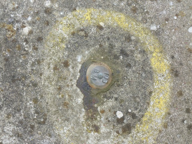
Image: © Becky Williamson Taken: 9 Aug 2015
Internal Drainage Boards benchmark on west parapet of bridge over Shapwick Moor Rhyne in the Somerset Levels. See https://eabm.derektp.co.uk/detail?eabm=34 An Ordnance Survey rivet benchmark was installed on a bridge here in 1961 but was lost when the bridge was rebuilt.
Images are licensed for reuse under creativecommons.org/licenses/by-sa/2.0
Image Location
Latitude
51.156513
Longitude
-2.833641