Bailiehill Iron Age Fort
Introduction
The photograph on this page of Bailiehill Iron Age Fort by Oliver Dixon as part of the Geograph project.
The Geograph project started in 2005 with the aim of publishing, organising and preserving representative images for every square kilometre of Great Britain, Ireland and the Isle of Man.

There are currently over 7.5m images from over 14,400 individuals and you can help contribute to the project by visiting https://www.geograph.org.uk
Bailiehill Iron Age Fort
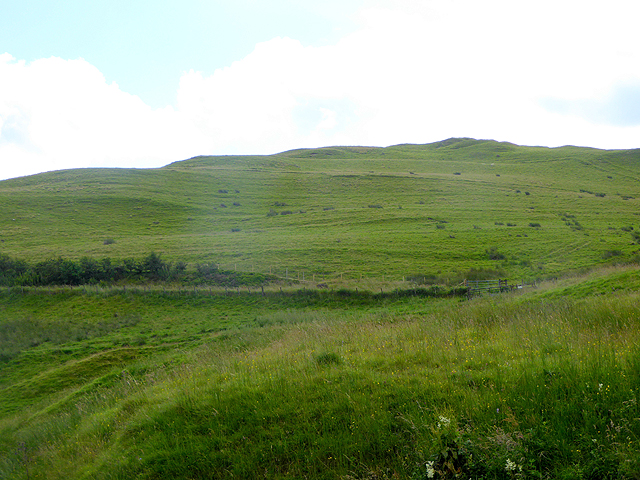
Image: © Oliver Dixon Taken: 8 Aug 2015
An impressive Iron Age Hill Fort above the confluence of the white and Black Esk Rivers. As the fort has not been excavated, a lot of questions remain.
Images are licensed for reuse under creativecommons.org/licenses/by-sa/2.0
Image Location


Leaflet Map data © OpenStreetMap
Latitude
55.203396
Longitude
-3.171