The Ringsend Road near Banbridge
Introduction
The photograph on this page of The Ringsend Road near Banbridge by Albert Bridge as part of the Geograph project.
The Geograph project started in 2005 with the aim of publishing, organising and preserving representative images for every square kilometre of Great Britain, Ireland and the Isle of Man.

There are currently over 7.5m images from over 14,400 individuals and you can help contribute to the project by visiting https://www.geograph.org.uk
The Ringsend Road near Banbridge
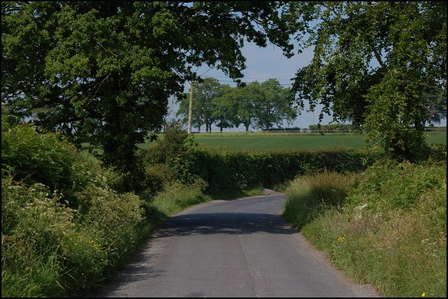
Image: © Albert Bridge Taken: 9 Jun 2007
This is the section of the Ringsend Road between Hill’s Cross Roads and the Banbridge – Scarva road. It might look rural but the ever-expanding Banbridge is lurking, not too far away, out of sight, to the right. The view is towards the Scarva Road.
Images are licensed for reuse under creativecommons.org/licenses/by-sa/2.0
Image Location
Latitude
54.337257
Longitude
-6.301892