Aerial View of Appleton, Oxfordshire
Introduction
The photograph on this page of Aerial View of Appleton, Oxfordshire by Dave Price as part of the Geograph project.
The Geograph project started in 2005 with the aim of publishing, organising and preserving representative images for every square kilometre of Great Britain, Ireland and the Isle of Man.

There are currently over 7.5m images from over 14,400 individuals and you can help contribute to the project by visiting https://www.geograph.org.uk
Aerial View of Appleton, Oxfordshire
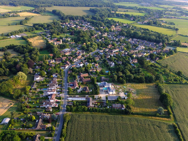
Image: © Dave Price Taken: 8 Aug 2015
Taken late evening, looking southwards and showing most of this village. See Wikipedia, https://en.wikipedia.org/wiki/Appleton,_Oxfordshire .
Images are licensed for reuse under creativecommons.org/licenses/by-sa/2.0
Image Location
Latitude
51.709868
Longitude
-1.361123