Road to Charleshayes
Introduction
The photograph on this page of Road to Charleshayes by Nigel Mykura as part of the Geograph project.
The Geograph project started in 2005 with the aim of publishing, organising and preserving representative images for every square kilometre of Great Britain, Ireland and the Isle of Man.

There are currently over 7.5m images from over 14,400 individuals and you can help contribute to the project by visiting https://www.geograph.org.uk
Road to Charleshayes
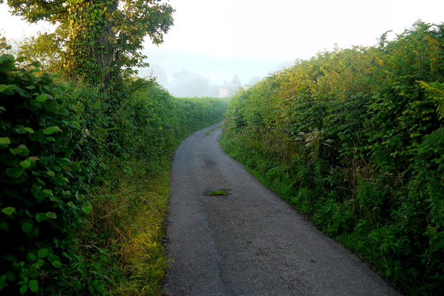
Image: © Nigel Mykura Taken: 7 Aug 2015
Narrow winding roads with steep banks and high hedges make for tricky driving. The early morning sun and plentiful mist do not help.
Images are licensed for reuse under creativecommons.org/licenses/by-sa/2.0
Image Location
Latitude
50.875893
Longitude
-3.123492