The Point Road near Banbridge
Introduction
The photograph on this page of The Point Road near Banbridge by Albert Bridge as part of the Geograph project.
The Geograph project started in 2005 with the aim of publishing, organising and preserving representative images for every square kilometre of Great Britain, Ireland and the Isle of Man.

There are currently over 7.5m images from over 14,400 individuals and you can help contribute to the project by visiting https://www.geograph.org.uk
The Point Road near Banbridge
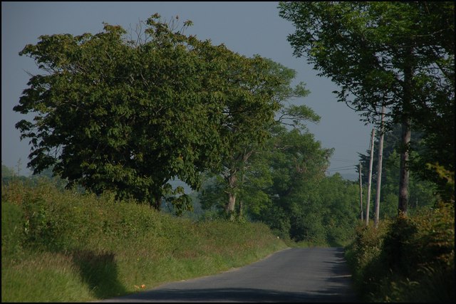
Image: © Albert Bridge Taken: 9 Jun 2007
The Point Road is one of many unclassified roads to the west of Banbridge. It connects the Scarva Road to Laurencetown. This is the view to Laurencetown, just past the Ballykeel Road. The early morning mist was starting to lift.
Images are licensed for reuse under creativecommons.org/licenses/by-sa/2.0
Image Location
Latitude
54.364196
Longitude
-6.30078