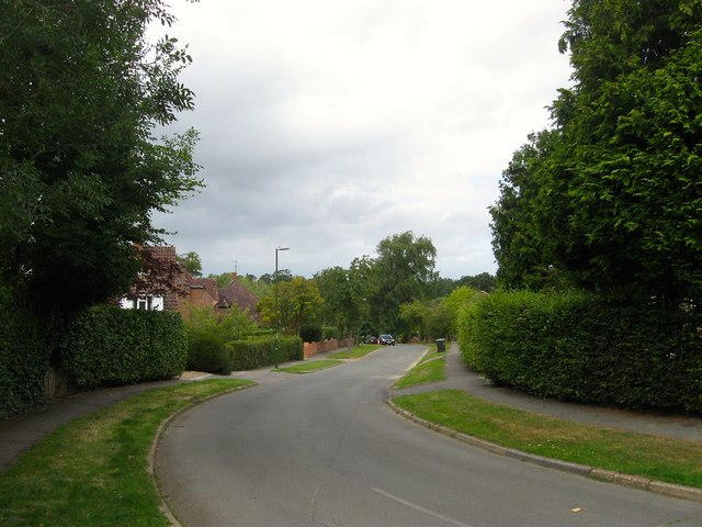
William Allen Lane, Lindfield
Introduction
The photograph on this page of William Allen Lane, Lindfield by Simon Carey as part of the Geograph project.
The Geograph project started in 2005 with the aim of publishing, organising and preserving representative images for every square kilometre of Great Britain, Ireland and the Isle of Man.
There are currently over 7.5m images from over 14,400 individuals and you can help contribute to the project by visiting https://www.geograph.org.uk

Image: © Simon Carey Taken: 4 Aug 2015
A residential road linking Gravelye Lane to Westlands Road that was developed in the late 1950s on a former field called Footway Field, according to Lindfield's 1845 tithe map. Named after William Allen, a 19th century Quaker businessman and philanthropist who encouraged social improvement schemes for the industrious labouring poor in order to keep them away from poor relief. Allen's idea was et out in his work 'Colonies at Home' where the labourers were given a small cottage with an adjacent plot of land which would provide him and his family with enough to be self sufficient. One of these schemes was carried out in Lindfield in the 1820s and given the nickname America. This smallholding settlement was relatively successful with cottages remaining in place until their demolition in 1944.

