Chilton Grove, Lindfield
Introduction
The photograph on this page of Chilton Grove, Lindfield by Simon Carey as part of the Geograph project.
The Geograph project started in 2005 with the aim of publishing, organising and preserving representative images for every square kilometre of Great Britain, Ireland and the Isle of Man.

There are currently over 7.5m images from over 14,400 individuals and you can help contribute to the project by visiting https://www.geograph.org.uk
Chilton Grove, Lindfield
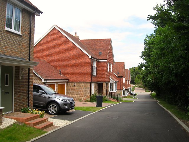
Image: © Simon Carey Taken: 4 Aug 2015
New estate built around 2012 in a former field called Six Acres according to Lindfield's 1845 tithe map. The residential road runs in an arc off Image with this section next to the former field boundary which contains a public footpath. To the east is another development under construction in 2015 called the Heathwood estate.
Images are licensed for reuse under creativecommons.org/licenses/by-sa/2.0
Image Location
Latitude
51.000916
Longitude
-0.077693