Speedwell Drive, Lindfield
Introduction
The photograph on this page of Speedwell Drive, Lindfield by Simon Carey as part of the Geograph project.
The Geograph project started in 2005 with the aim of publishing, organising and preserving representative images for every square kilometre of Great Britain, Ireland and the Isle of Man.

There are currently over 7.5m images from over 14,400 individuals and you can help contribute to the project by visiting https://www.geograph.org.uk
Speedwell Drive, Lindfield
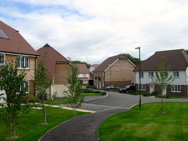
Image: © Simon Carey Taken: 4 Aug 2015
Part of the new Heathwood estate being built by Barratt homes. The path in the foreground links the estate to Lyoth Lane, vehicular access is via Langmore Lane. Originally an open field that was unnamed on Lindfield's 1845 tithe map but contained Jordans Barn up to at least the First World War.
Images are licensed for reuse under creativecommons.org/licenses/by-sa/2.0
Image Location
Latitude
50.999478
Longitude
-0.077752