Hedge and buildings east of Chulmleigh
Introduction
The photograph on this page of Hedge and buildings east of Chulmleigh by David Smith as part of the Geograph project.
The Geograph project started in 2005 with the aim of publishing, organising and preserving representative images for every square kilometre of Great Britain, Ireland and the Isle of Man.

There are currently over 7.5m images from over 14,400 individuals and you can help contribute to the project by visiting https://www.geograph.org.uk
Hedge and buildings east of Chulmleigh
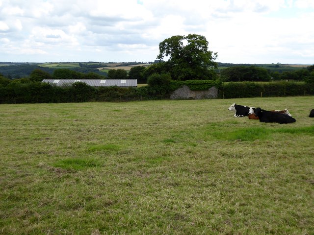
Image: © David Smith Taken: 7 Aug 2015
Beyond the hedge is a building linked to the recreation ground. The stone building covered with ivy is not identified on the OS map, nor on older OS 1:2500 maps. It may be a lime kiln
Images are licensed for reuse under creativecommons.org/licenses/by-sa/2.0
Image Location
Latitude
50.915767
Longitude
-3.865202