Site of Birchetts Wood (2)
Introduction
The photograph on this page of Site of Birchetts Wood (2) by Simon Carey as part of the Geograph project.
The Geograph project started in 2005 with the aim of publishing, organising and preserving representative images for every square kilometre of Great Britain, Ireland and the Isle of Man.

There are currently over 7.5m images from over 14,400 individuals and you can help contribute to the project by visiting https://www.geograph.org.uk
Site of Birchetts Wood (2)
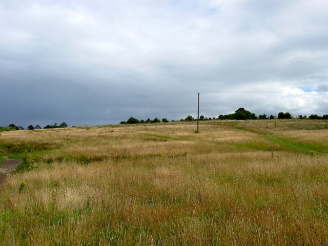
Image: © Simon Carey Taken: 4 Aug 2015
The name of the wood according to Lindfield's 1845 tithe map that once existed here. Parts to the east were grubbed by the 1875 OS map, see Image, however this section survived until the 1950s. The current open fields allow public access via a single gate on Lyoth Lane.
Images are licensed for reuse under creativecommons.org/licenses/by-sa/2.0
Image Location
Latitude
50.999329
Longitude
-0.074195