Snowdrop Cottage, Snowdrop Lane
Introduction
The photograph on this page of Snowdrop Cottage, Snowdrop Lane by Simon Carey as part of the Geograph project.
The Geograph project started in 2005 with the aim of publishing, organising and preserving representative images for every square kilometre of Great Britain, Ireland and the Isle of Man.

There are currently over 7.5m images from over 14,400 individuals and you can help contribute to the project by visiting https://www.geograph.org.uk
Snowdrop Cottage, Snowdrop Lane
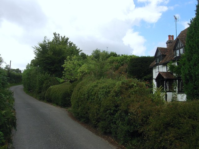
Image: © Simon Carey Taken: 4 Aug 2015
Parts of the cottage date back to the 16th century but has been much altered. Snowdrop Lane was originally known as Sluts Lane until as late as the 1960s.
Images are licensed for reuse under creativecommons.org/licenses/by-sa/2.0
Image Location
Latitude
50.99898
Longitude
-0.069364