Playing field, Plymouth
Introduction
The photograph on this page of Playing field, Plymouth by Derek Harper as part of the Geograph project.
The Geograph project started in 2005 with the aim of publishing, organising and preserving representative images for every square kilometre of Great Britain, Ireland and the Isle of Man.

There are currently over 7.5m images from over 14,400 individuals and you can help contribute to the project by visiting https://www.geograph.org.uk
Playing field, Plymouth
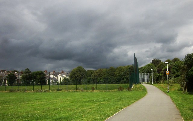
Image: © Derek Harper Taken: 1 Aug 2015
The Stonehouse Creek foot and cycle path approaches Mill Bridge past a fenced football pitch.
Images are licensed for reuse under creativecommons.org/licenses/by-sa/2.0
Image Location
Latitude
50.37302
Longitude
-4.15998