The Vale of Edale from the air
Introduction
The photograph on this page of The Vale of Edale from the air by Thomas Nugent as part of the Geograph project.
The Geograph project started in 2005 with the aim of publishing, organising and preserving representative images for every square kilometre of Great Britain, Ireland and the Isle of Man.

There are currently over 7.5m images from over 14,400 individuals and you can help contribute to the project by visiting https://www.geograph.org.uk
The Vale of Edale from the air
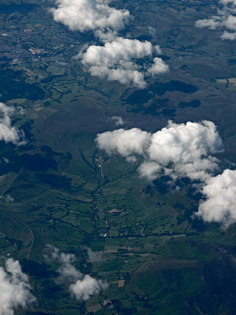
Image: © Thomas Nugent Taken: 31 Jul 2015
Edale and Barber Booth are in the foreground. The railway line can be seen disappearing into Cowburn Tunnel and re-emerging on the other side of Toot Hill near Chapel-en-le-Frith.
Images are licensed for reuse under creativecommons.org/licenses/by-sa/2.0
Image Location
Latitude
53.366199
Longitude
-1.798588