Tummel Power Station
Introduction
The photograph on this page of Tummel Power Station by Carron K as part of the Geograph project.
The Geograph project started in 2005 with the aim of publishing, organising and preserving representative images for every square kilometre of Great Britain, Ireland and the Isle of Man.

There are currently over 7.5m images from over 14,400 individuals and you can help contribute to the project by visiting https://www.geograph.org.uk
Tummel Power Station
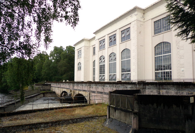
Image: © Carron K Taken: 27 Jul 2014
Elegant power station on the River Tummel, part of the Tummel Valley hydroelectric scheme, and built in 1933.
Images are licensed for reuse under creativecommons.org/licenses/by-sa/2.0
Image Location
Latitude
56.706541
Longitude
-4.021132