Path to Thorpe under Stones
Introduction
The photograph on this page of Path to Thorpe under Stones by Gordon Hatton as part of the Geograph project.
The Geograph project started in 2005 with the aim of publishing, organising and preserving representative images for every square kilometre of Great Britain, Ireland and the Isle of Man.

There are currently over 7.5m images from over 14,400 individuals and you can help contribute to the project by visiting https://www.geograph.org.uk
Path to Thorpe under Stones
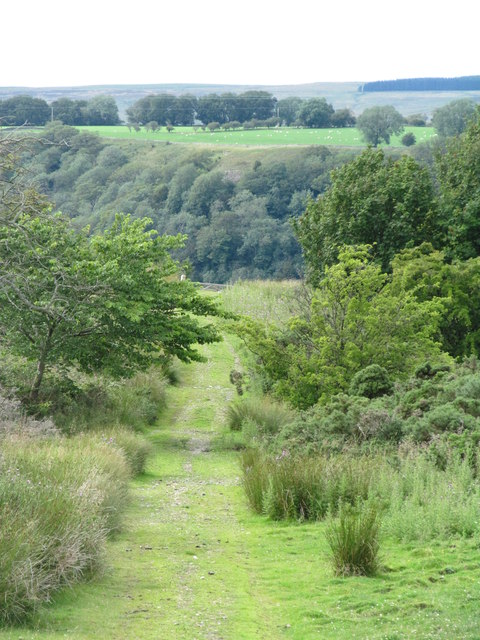
Image: © Gordon Hatton Taken: 29 Jul 2015
One would imagine that this path sees little use as it has long been a route which doesn't easily link with others. However it does now cross a permissive path linking the Husdwell area with Downholme along the rim of the dale.
Images are licensed for reuse under creativecommons.org/licenses/by-sa/2.0
Image Location
Latitude
54.399179
Longitude
-1.802655