Brownston Cross
Introduction
The photograph on this page of Brownston Cross by Derek Harper as part of the Geograph project.
The Geograph project started in 2005 with the aim of publishing, organising and preserving representative images for every square kilometre of Great Britain, Ireland and the Isle of Man.

There are currently over 7.5m images from over 14,400 individuals and you can help contribute to the project by visiting https://www.geograph.org.uk
Brownston Cross
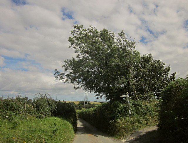
Image: © Derek Harper Taken: 6 Aug 2015
Part of a staggered crossroads, with the lane from Bulkamore to Willing Cross meeting a green lane on the right, and an unseen no through lane to the farm at Brownston on the left. Image] was taken from that lane, a few metres away; the pylon appears in both images.
Images are licensed for reuse under creativecommons.org/licenses/by-sa/2.0
Image Location
Latitude
50.447467
Longitude
-3.761363