Cattle near Brownston
Introduction
The photograph on this page of Cattle near Brownston by Derek Harper as part of the Geograph project.
The Geograph project started in 2005 with the aim of publishing, organising and preserving representative images for every square kilometre of Great Britain, Ireland and the Isle of Man.

There are currently over 7.5m images from over 14,400 individuals and you can help contribute to the project by visiting https://www.geograph.org.uk
Cattle near Brownston
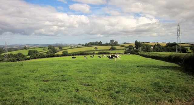
Image: © Derek Harper Taken: 6 Aug 2015
From a gateway at Brownston Cross. The trees by the pylon hide a sawmill. We're quite elevated here at 175 metres, and there are good views.
Images are licensed for reuse under creativecommons.org/licenses/by-sa/2.0
Image Location
Latitude
50.447482
Longitude
-3.760378