Fields Above Chew Valley Reservoir
Introduction
The photograph on this page of Fields Above Chew Valley Reservoir by Nigel Mykura as part of the Geograph project.
The Geograph project started in 2005 with the aim of publishing, organising and preserving representative images for every square kilometre of Great Britain, Ireland and the Isle of Man.

There are currently over 7.5m images from over 14,400 individuals and you can help contribute to the project by visiting https://www.geograph.org.uk
Fields Above Chew Valley Reservoir
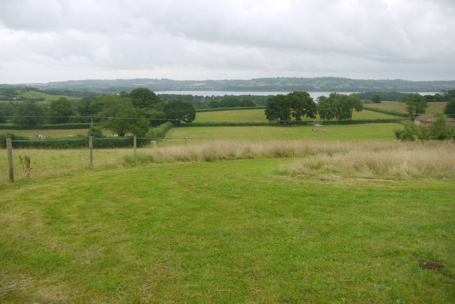
Image: © Nigel Mykura Taken: 5 Aug 2015
Most of the fields here are pasture for sheep with some arable. The reservoir is large enough to reach over a dozen different grid squares and can be seen in the distance.
Images are licensed for reuse under creativecommons.org/licenses/by-sa/2.0
Image Location


Leaflet Map data © OpenStreetMap
Latitude
51.343628
Longitude
-2.640854