Birmingham Council House
Introduction
The photograph on this page of Birmingham Council House by Ben Brooksbank as part of the Geograph project.
The Geograph project started in 2005 with the aim of publishing, organising and preserving representative images for every square kilometre of Great Britain, Ireland and the Isle of Man.

There are currently over 7.5m images from over 14,400 individuals and you can help contribute to the project by visiting https://www.geograph.org.uk
Birmingham Council House
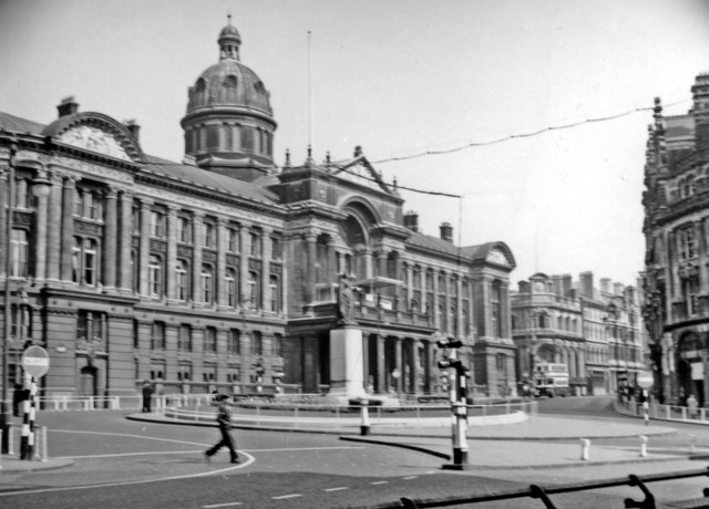
Image: © Ben Brooksbank Taken: 28 Apr 1957
View from Colmore Row - compare with recent views.
Images are licensed for reuse under creativecommons.org/licenses/by-sa/2.0
Image Location
Latitude
52.479086
Longitude
-1.902779