Julian Road
Introduction
The photograph on this page of Julian Road by HelenK as part of the Geograph project.
The Geograph project started in 2005 with the aim of publishing, organising and preserving representative images for every square kilometre of Great Britain, Ireland and the Isle of Man.

There are currently over 7.5m images from over 14,400 individuals and you can help contribute to the project by visiting https://www.geograph.org.uk
Julian Road
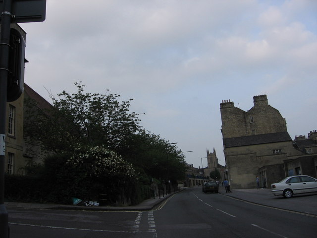
Image: © HelenK Taken: 8 Jun 2007
This shows two of the three churches on the north side of the road: St. Mary's Catholic Church near left and Christ Church in the distance. The hill begins to flatten out here so there is more space to put up large buildings.
Images are licensed for reuse under creativecommons.org/licenses/by-sa/2.0
Image Location
Latitude
51.388155
Longitude
-2.3644