Site of former Wyther Park Community Centre
Introduction
The photograph on this page of Site of former Wyther Park Community Centre by Stephen Craven as part of the Geograph project.
The Geograph project started in 2005 with the aim of publishing, organising and preserving representative images for every square kilometre of Great Britain, Ireland and the Isle of Man.

There are currently over 7.5m images from over 14,400 individuals and you can help contribute to the project by visiting https://www.geograph.org.uk
Site of former Wyther Park Community Centre
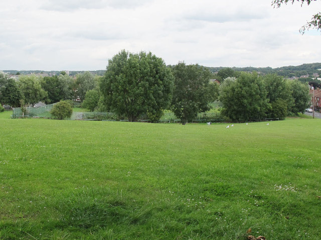
Image: © Stephen Craven Taken: 2 Aug 2015
Viewed from the Houghley Gill footpath. A rectangular area within the Raynville Crescent Public Open Space, surrounded by metal fencing, and with evidence of previous floodlighting. I presumed it was a sports facility of some kind, but now disused and overgrown. However a subsequent planning application for housing on the site gave its previous use as the "Wyther Park Community Centre". Another document on Leeds Council website reveals that this was "used [from] 2006 until 2010 as a community hub for training and activities [but] there is no longer a demand for this facility".
Images are licensed for reuse under creativecommons.org/licenses/by-sa/2.0
Image Location
Latitude
53.810573
Longitude
-1.612407