
Beacon Brow
Introduction
The photograph on this page of Beacon Brow by Rude Health as part of the Geograph project.
The Geograph project started in 2005 with the aim of publishing, organising and preserving representative images for every square kilometre of Great Britain, Ireland and the Isle of Man.

There are currently over 7.5m images from over 14,400 individuals and you can help contribute to the project by visiting https://www.geograph.org.uk
Beacon Brow
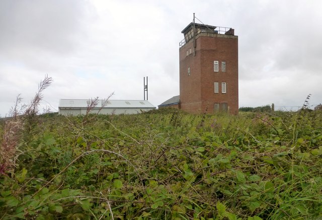
Image: © Rude Health Taken: 13 Aug 2014
Pushed up through the gorse to summit of knoll near old coastguard lookout red brick building. Name: Beacon Brow (Walney) Hill number: 19088 Height: 25m / 82ft Parent (Ma/M): none Section: 34D: Southern Cumbria County/UA: Cumbria (CoU) Island: Non Tump island Maritime Area: England - Cheshire Coast to Barrow Class: SIB Grid ref: SD 17322 69026 Summit feature: no feature: gorse Drop: 25m Col: Sea
Images are licensed for reuse under creativecommons.org/licenses/by-sa/2.0
Image Location

Latitude
54.110441
Longitude
-3.266144